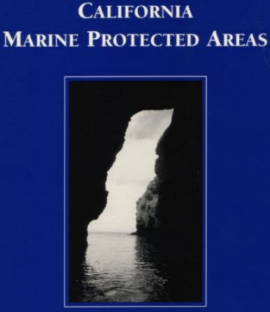
The Marine Protected Areas (MPA) Database was completed and released to the public during the summer of 1997 with financial support from the California Seagrant Cooperative Extension Program. It contains the boundaries of 104 designated off-shore areas compiled from multiple sources. Each polygon contains attributes for the designation, overlapping designations, county jurisdiction and region. The end result was used to create a guide book with maps, associated regulations and other information.
Presently this database is being used by California Fish & Wildlife for ecosystem analysis and planning of future reserves, and also by Minerals Management Service for studying Outer Continental Shelf (OCS) oil and gas activities on fish, fisheries, essential fish habitat, reefs, hardbottoms, and marine protected areas.
note: if you find errors with labels or boundaries, or know of additional sources that pertain to MPAs, please send email to jeff@geog.ucsb.edu.
Main Index Map
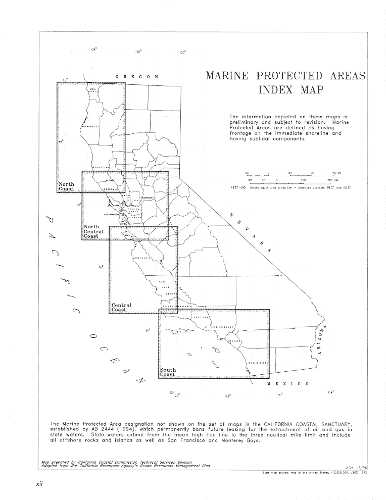
North Coast Region
North Central Coast Region
Central Coast Region
South Coast Region
Data:
Shapefile Format
- Geographic Projection
mpa_ll.zip
| coast_ll.zip
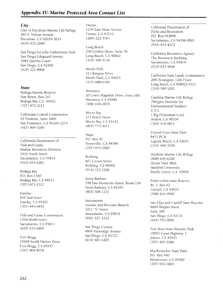
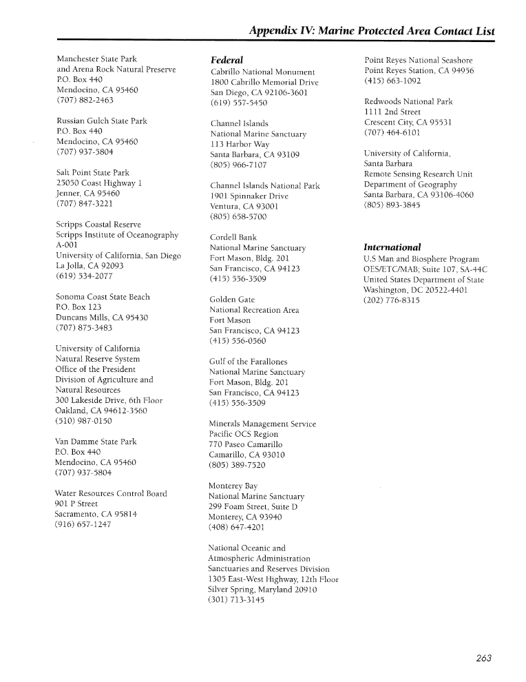
Contact Lists:
1
| 2
Regulations:
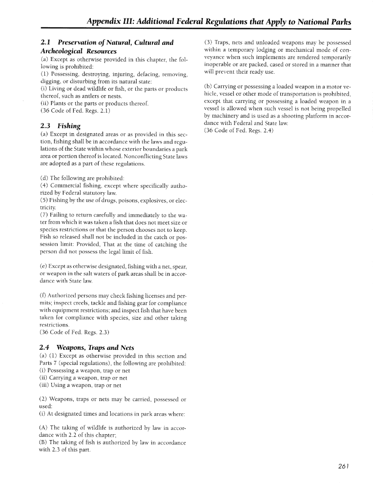
National
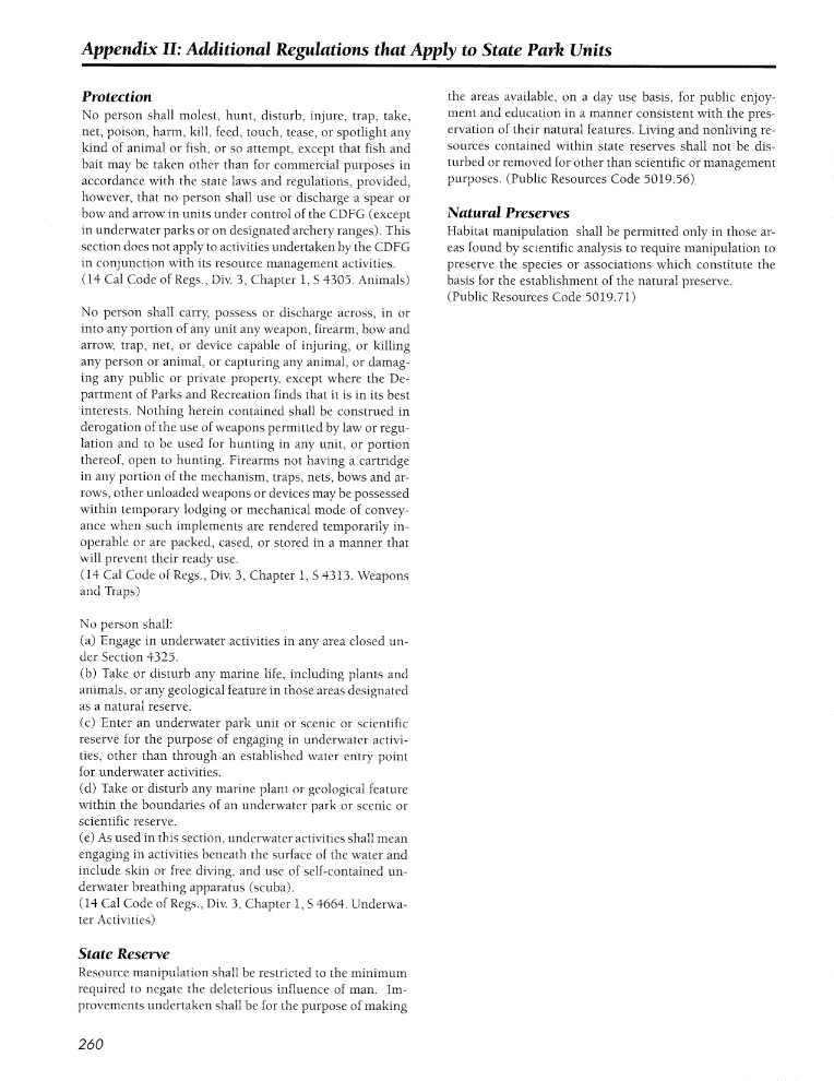
|State
Guide book prepared
by
D. McArdle
(1999)
book scanned by the
Berkeley
Digital Library